The use of drones in agriculture is no longer a novelty. Many farmers are already familiar with weed detection and generating task maps for tractors. The next step forward is installing a fixed dronebox at the field – unlocking the full potential of precise, data driven crop management.
Smarter crop monitoring with dronebox in agriculture
A dronebox enables regular monitoring of crop development – weekly or even more often. The drone can autonomously take off, follow a flight plan, land, and recharge, while being supervised remotely by a pilot. Each flight produces detailed orthophotos: high resolution digital maps that allow zooming in to plant level. Also weed detection and creating task maps can be drone directly through the dronebox.
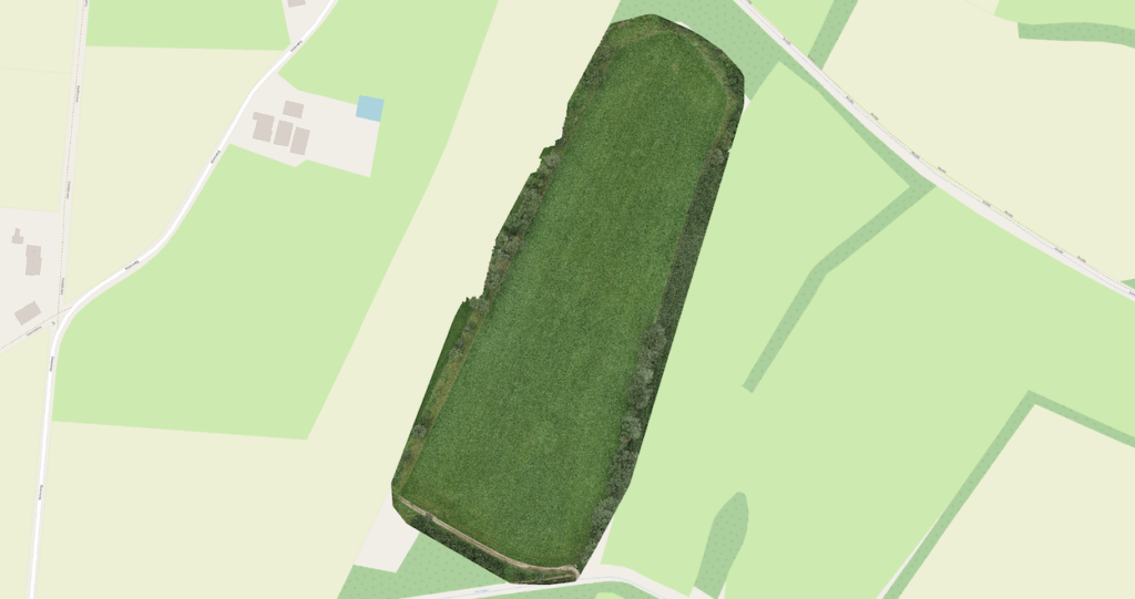
Screenshot of an orthophoto. Source: objectherkenning.com
Insights for crop advisors
Farmers can grant their crop advisors direct access to the drone imagery. This provides advisors with a valuable tool for evaluating crop conditions and making well founded management decisions. With accurate, up to date data available anytime, collaboration becomes faster, smarter and more effective.
Flying the drone from a dronebox in agriculture
Operating drones from a dronebox is in most countries subject to strict regulations. Not every location is suitable. Dronebotics is dedicated to handle everything: form site assessments to permit applications, so farmers can focus on farming.
Interested in learning more? Get in touch with us today.